Strong Quake Hits Papua New Guinea
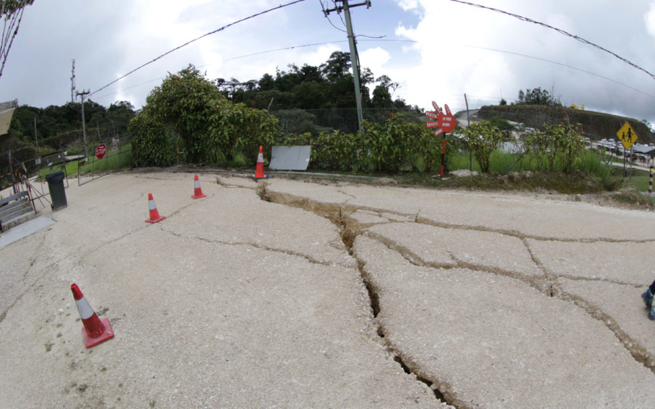
A powerful 6.9-magnitude earthquake struck the New Britain island of Papua New Guinea on Friday, US seismologists said, but a tsunami threat from the tremor was over.
The quake struck at 5:25 pm local time (2125 GMT) about 162 kilometres from the New Britain town of Rabaul, the US Geological Survey said.
It was initially recorded at a shallow depth of 10 kilometres (six miles), before it was revised by the USGS to a depth of 35 kilometres.
The Pacific Tsunami Warning Center earlier said “hazardous” waves of between 0.3-one metre above tide level could be generated by the quake for some coasts of PNG.
It said smaller waves could also hit the Solomon Islands, but later added that the “tsunami threat from this earthquake has now passed”.
“It was felt as far away as Kokopo (150 kilometres from the epicentre),” Geoscience Australia seismologist Spiro Spiliopoulos told AFP of the tremor.
There were no reports of damage at this stage, Spiliopoulos said, adding that the affected areas were remote.
The earthquake was quickly followed by two powerful smaller tremors, measuring 5.3 and 5.1, both at a depth of 35 kilometres, according to USGS.
The quake came on the heels of a separate 5.8-magnitude tremor some 43 kilometres west of Honiara, the capital of the Solomon Islands, which struck at 6:51 am local time (1851 GMT) at a depth of 10 kilometres.
There are regular quakes in the region, and PNG is sitting on the so-called Pacific Ring of Fire which is a hotspot for seismic activity due to friction between tectonic plates.
PNG was hit by a 7.5-magnitude quake on February 26 that buried homes and triggered landslides in its highlands region, killing at least 125 people.
Its mountainous and remote terrain means it often takes several days for information about damage from quakes to reach officials and aid agencies.


